In a nutshell
- The trip booked from this site leaves Arbatax and follows the Gulf of Orosei coast north, with a live guide in English, French, Italian and Spanish over eight hours.[1]
- Cala Mariolu, Cala Luna, Cala Sisine and Cala Goloritzè are the big names on this stretch, and some routes add Cala Biriala, Cala dei Gabbiani and the Pools of Venus.
- Sea caves open at water level under the cliffs. Adult admission to the Grotta del Bue Marino is €10 in the ordinary season and €12 in June, July, August and September.[2]
- Access needs a mandatory reservation from April to October and is limited to a maximum of 250 people at the same time.[3]
- In August the Gulf of Orosei averages 26.5 °C, with a minimum of 24.4 °C and a maximum of 29 °C over the last decade.[4]
- Top choice Catamaran with lunch from US$276 Duration8 hours[1]Rating4.91 from 268 reviews[1]Guide languagesEnglish, French, Italian, Spanish[1]CancellationCancel up to 24 hours ahead[1] Check availability
- Baunei Coast day tour from US$75 Duration9 hours[5]Rating4.42 from 549 reviews[5]Guide languagesItalian, English[5]CancellationCancel up to 24 hours ahead[5] See this tour
- RIB to Mariolu, Goloritzè from US$69 Duration3 hours[6]Rating4.84 from 705 reviews[6]Guide languagesEnglish, Italian[6]CancellationCancel up to 24 hours ahead[6] See this tour
Adulti Tariffa ordinaria: € 10,00 Giugno, luglio, agosto e settembre: € 12,00
Is the catamaran route worth it?
Things to check
On the water
- In August the gulf averages 26.5 °C, with lows of 24.4 °C and highs of 29 °C.[4]
- Water in the gulf has ranged from 24.4 °C to 29 °C in August over the last decade.[4]
- The coast lies inside the Parco Nazionale del Golfo di Orosei e del Gennargentu.[7]
- Pack water shoes, a hat, sunscreen and a dry bag for the swim stops.
The Route North from Arbatax
Boats heading into the Gulf of Orosei usually start at Arbatax, at the southern end of the coast, with the Rocce Rosse a few minutes away by road: porphyry cliffs that rise from the sea in the Red Rocks Bay east of the port, a tourist neighbourhood of Tortolì.[8] From the harbour the gulf runs 30 kilometres along the eastern coast of Sardinia.[9]
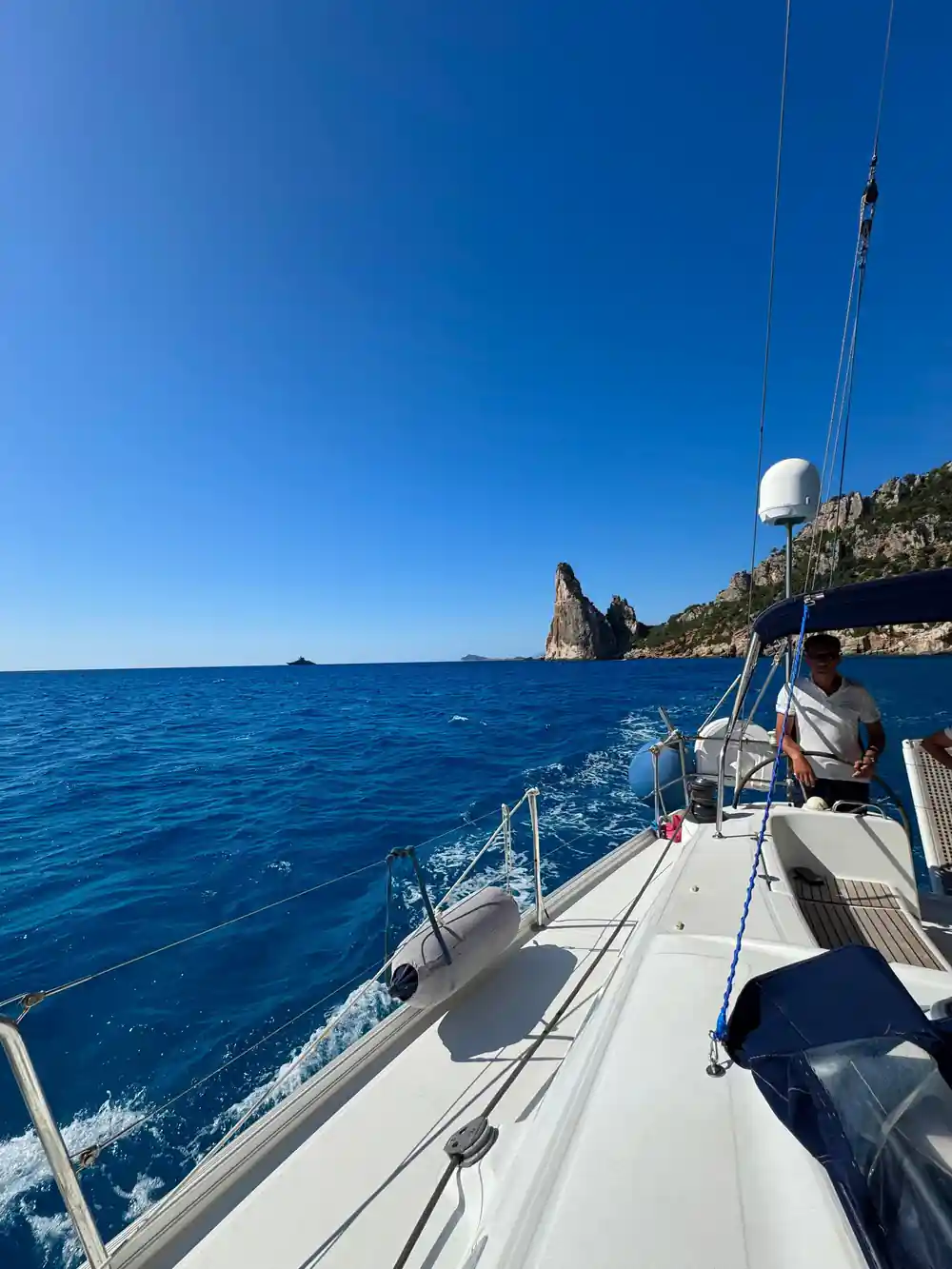
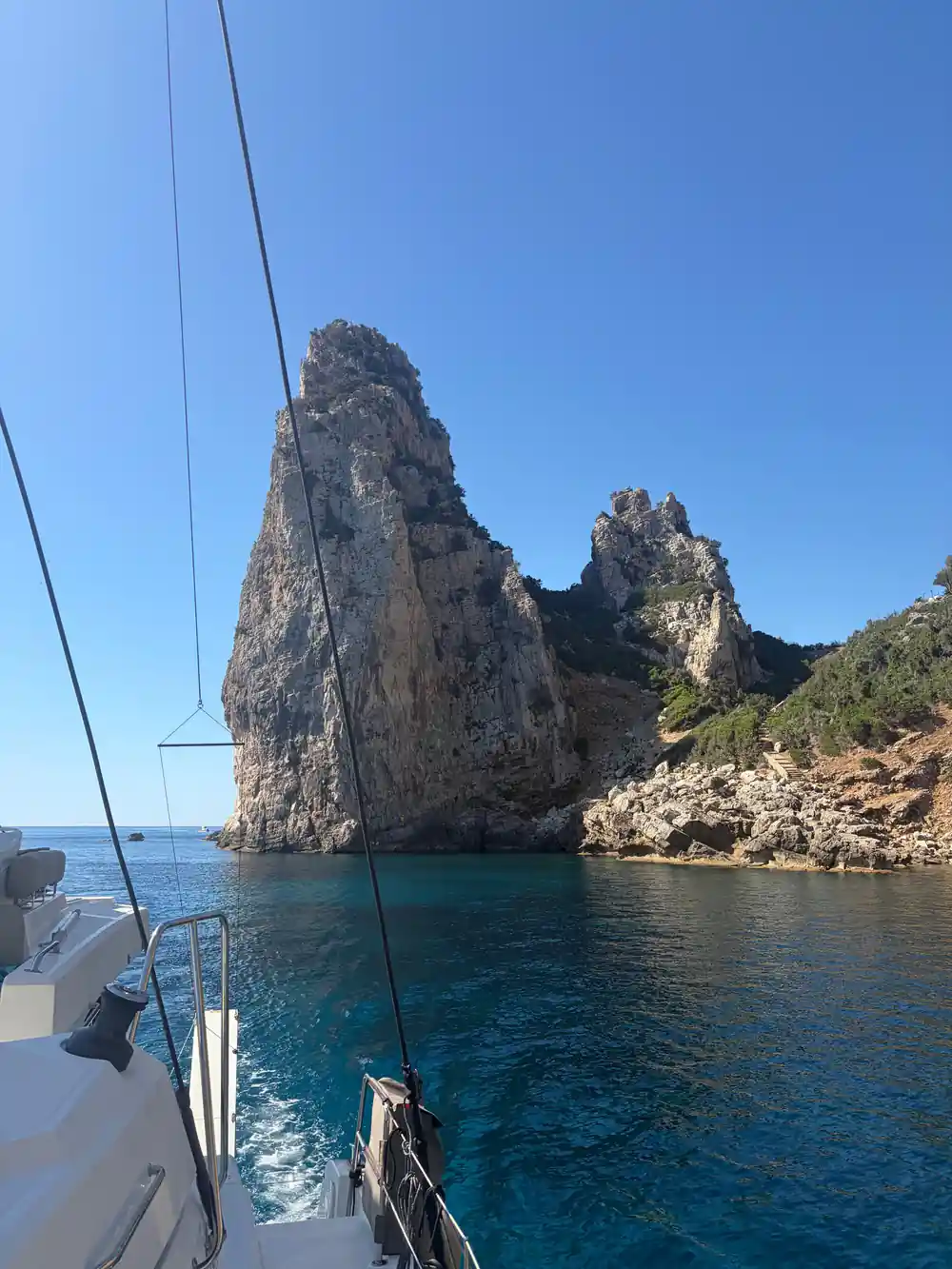
The first landmark most crews point out is Pedra Longa, the buttress that marks the start of the Selvaggio Blu trekking route, which winds through paths hanging between sea and mountain and ends at Cala Luna.[10] Above the water the land climbs towards the Supramonte, and the coastline lies inside the Parco Nazionale del Golfo di Orosei e del Gennargentu, a protected area in Sardinia.[7]
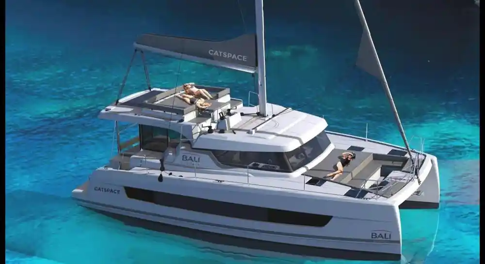
The catamaran trip booked from this site works the same stretch of coast from Arbatax over eight hours, with a live guide in English, French, Italian and Spanish.[1] Smaller boats from the same harbour go faster and shorter: the RIB tour to Cala Mariolu and Cala Goloritzè takes three hours.[6]
Coves and Beaches Along the Way
The Gulf of Orosei Sardinia's east coast is cut into coves wherever a stream reaches the sea, and each gap has its own character. A Dorgali cruise from Cala Gonone lists Cala Luna, Cala Goloritzé, Cala Mariolu and Cala Sisine among its stops.[11] Other listings add Cala Biriala and Cala dei Gabbiani, and some routes also pass the Pools of Venus.[12][13]
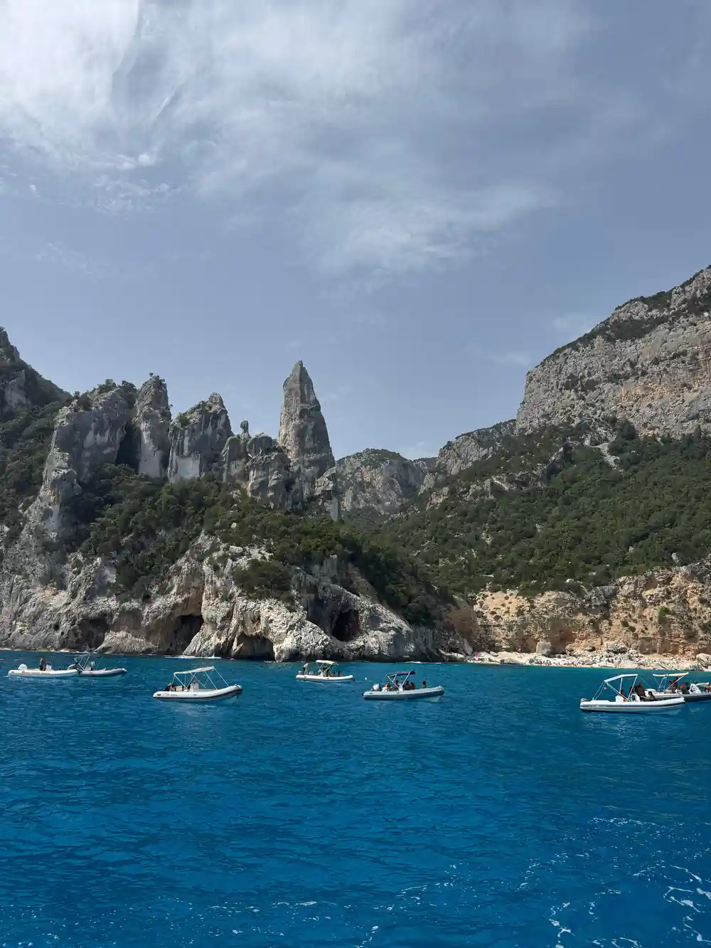
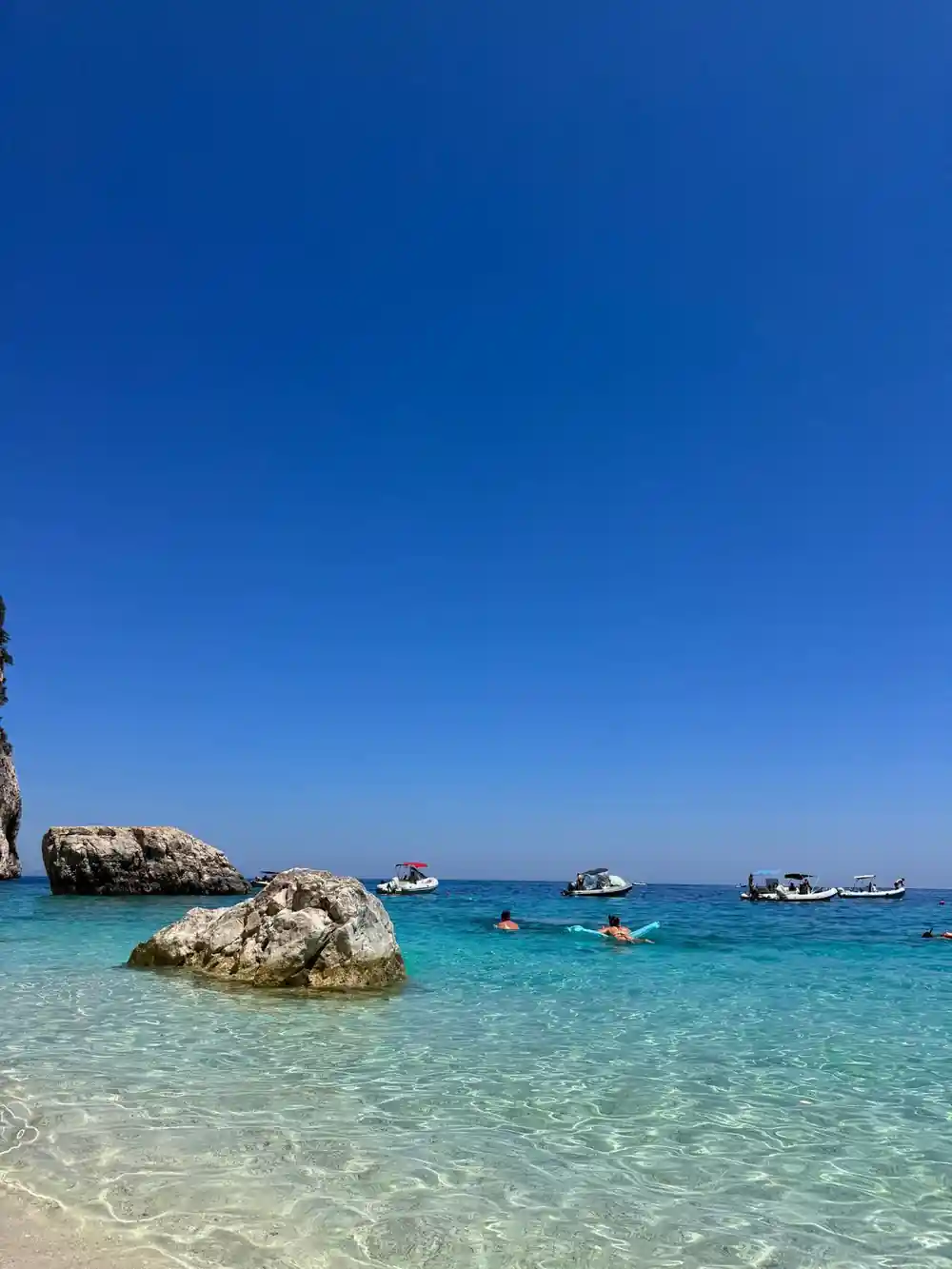
Cala Mariolu is famous for its crystal-clear water, white pebbles and dramatic limestone cliffs that plunge into the sea.[14] Boats stand off it and let you swim across, and the shore itself is pebbles rather than sand, so a pair of water shoes earns its place in your bag.
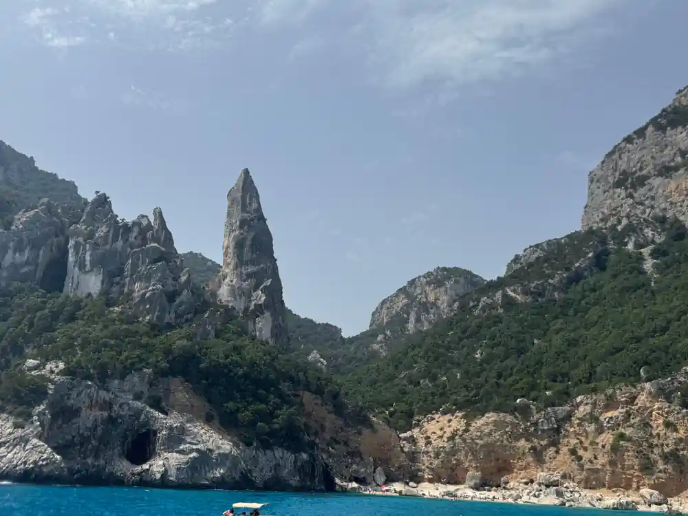
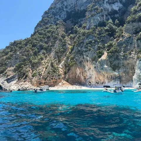
Cala Luna is on Sardinia's central eastern coast and is reachable from Cala Gonone, a hamlet in the township of Dorgali in the province of Nuoro.[15] It is a wide, open bay with a sandy back, and the ground underfoot is softer than on the pebble coves further north. Further along, Cala Sisine and Cala Biriala sit under slopes that rise straight out of the water, with the maquis coming down to the shore.
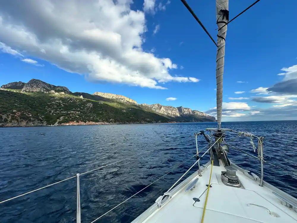
Limestone cliffs and turquoise water along the Baunei coast, seen from the deck.
Sea Caves and the Grotta del Bue Marino
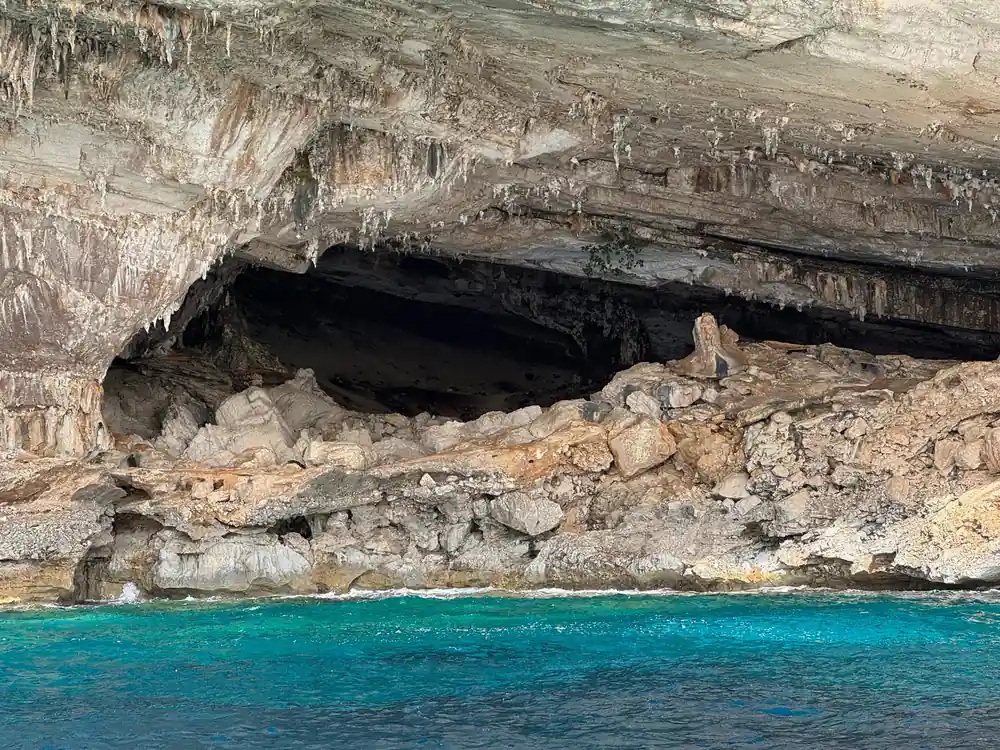
Sea caves are the other reason to be on the water here. The limestone along this coast has been hollowed out at sea level, and on a calm day a small boat can edge under the dark openings where the rock thins at the base of the cliff. The cave with its own boat services is the Grotta del Bue Marino, near Cala Gonone, where visitors go in by boat.
Adult admission to the Grotta del Bue Marino costs €10 in the ordinary season and €12 in June, July, August and September.[2] Cave trips are short and focused: a two-hour Grotta del Bue Marino boat trip from Cala Gonone is listed from US$46[16], and a four-hour Grotta Bue Marino and Cala Luna beach boat trip from US$58.[17]
On the catamaran route the caves are usually seen from outside, as arches and shadowed inlets in the cliff, which gives you the scale of the rock and the colour of the water at the mouth of the opening. If swimming into a cave mouth is the thing you came for, ask the crew what the day's stops allow.
Why the Itinerary Changes Day to Day
No two days on this coast are quite the same. The gulf faces east, and the wind decides where a boat can tuck in: a flat morning can turn choppy by afternoon, and a swell you cannot see from the quay can close a cave mouth or make a landing on a pebble beach awkward. Skippers read the forecast and reorder the stops, running north first and swimming on the way back, or the other way round.
This is normal on an exposed coast, and it is part of what makes a day here feel different every time. Pack for wind as well as sun, keep phones and papers in a dry bag, and treat the list of coves as a set of possibilities rather than a checklist.
One stop works to its own rules. Access to Cala Goloritzè requires a mandatory reservation from April to October and is limited to a maximum of 250 people at the same time.[3] That is worth knowing before you build a day around standing on that particular beach.
from US$276
The catamaran trip from Arbatax with lunch runs 8 hours and is rated 4.91 from 268 reviews.[1]
Environmental Limits and the Access Permit
The gulf is protected rather than simply scenic. It sits inside the Parco Nazionale del Golfo di Orosei e del Gennargentu, the protected area in Sardinia named for the water and the mountains behind it.[7] Boats, walkers and swimmers share a coastline that is mostly cliff and cove.
The clearest limit is the one at Cala Goloritzè, where reservations are mandatory from April to October and access is allowed for a maximum of 250 people at the same time.[3] If a landing there matters to you, make the reservation the first thing you sort out, before the boat and before the hotel.
Further north the coast empties out and the rules are mostly about care. You can hire a dinghy for exploring the gulf without a boat licence, as long as the driver is at least 18 years old.[18] On the water, the usual habits matter: slow down near swimmers, keep clear of the cliff face where birds nest, and carry everything back to the harbour.
Swim Stops and Time in the Water
Swimming is the centre of a day out here, and the water is kind. In August the sea in the Gulf of Orosei averages 26.5 °C, with a minimum of 24.4 °C and a maximum of 29 °C over the last decade.[4] That is warm enough for long, unhurried swims and comfortable for anyone who needs a minute to get in.
How much time you get in the water depends on the boat. The catamaran trip from Arbatax runs eight hours.[1] The RIB trip to Cala Mariolu and Cala Goloritzè lasts three hours, so the pace is quicker and the stops are shorter.[6] The Dorgali cruise to Cala Goloritzè takes 7.5 hours.[11]
There are dedicated swimming options too, such as a two-hour snorkelling trip in the Orosei Gulf limited to six participants.[19] Bring a mask that fits and fins if you have room in your bag; the water is clear enough that you can often see the bottom from the deck, and the rocky points between the coves are where the life is.
One habit helps more than any piece of kit: get in early at each stop rather than near the end, and swim along the cliff line rather than straight out to sea. Crews will point out the ladder and tell you how long the stop lasts.
Sandy, Pebbly and Rocky Shores Explained
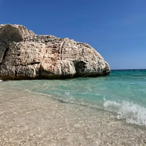
The shore under your feet changes with the rock behind it. Where limestone breaks down, you get pale pebbles and, in a few wide bays, sand. Where harder rock reaches the sea, as at the Rocce Rosse near Arbatax, the water meets boulders instead: porphyry cliffs that rise from the sea in the Red Rocks Bay, with white rocks and tall red granite boulders behind them.[8] The white pebbles of Cala Mariolu are the limestone version.[14]
Pebble beaches are steep and noisy underfoot, and they usually drop into deep water within a few steps, which makes them good for swimming and awkward for small children. Water shoes or trainers you do not mind soaking make a landing easier, and they help on the wet rock at cave mouths. Sand turns up at the back of the wider bays, where the cliffs pause and a stream has left something soft behind.
Whatever the shore, the swimming is often better from the boat than from the beach. Ask the crew where the bottom is sandy, take your time getting in, and keep half an eye on the horizon for the next stop; on this coast the view changes every few minutes.
August sea temperature in the Gulf of Orosei
Figures for August in the Gulf of Orosei over the last decade, from seatemperature.info.[4]
From-prices for Gulf of Orosei boat tours
From prices in US dollars on GetYourGuide: catamaran with lunch[1], Baunei Coast day tour[5], RIB tour[6] and the Dorgali cruise to Cala Goloritzè[11].
When to go and when to book
Planning the route day
Pick your harbour
Boats leave from Arbatax and Cala Gonone, and from Santa Maria Navarrese. The catamaran trip booked from this site starts at Arbatax.[1]
Sort the permit first
The Cala Goloritzè reservation is mandatory from April to October and limited to 250 people at the same time.[3]
Match boat to day
A three-hour RIB is a quick look at two coves; the eight-hour catamaran allows longer swims.[1][6]
Pack for wet landings
Bring water shoes, a hat, sunscreen and a dry bag; pebble beaches and wet rock at cave mouths are easier with grip on your feet.
Ask about the day's stops
Stop lists shift with the sea state, so ask the crew in the morning what is likely and where the swimming stops will be.
See the cliffs, coves and caves of the Gulf of Orosei from the water
from US$67