In a nutshell
- The Rocce Rosse are porphyry cliffs rising from the sea in Red Rocks Bay east of the Arbatax port, a tourist neighbourhood of Tortolì.[1]
- The Gulf of Orosei stretches 30 kilometres along the eastern coast of Sardinia, and boats from Arbatax head north into its coves.[2]
- Sea water in the Gulf of Orosei averages 26.5 °C in August, with a minimum of 24.4 °C and a maximum of 29 °C over the last decade.[3]
- The catamaran boat trip with lunch from Arbatax runs 8 hours, from US$276, and is rated 4.91 from 268 reviews.[4]
- Access to Cala Goloritzé requires a mandatory reservation from April to October and is limited to a maximum of 250 people at the same time.[5]
- Top choice Catamaran trip with lunch from US$276 Duration8 hours[4]Rating4.91 from 268 reviews[4]CancellationUp to 24 hours before[4]PaymentReserve now, pay later[4] Check availability
- Baunei coast day tour from US$75 Duration9 hours[6]Rating4.42 from 549 reviews[6]CancellationUp to 24 hours before[6]PaymentReserve now, pay later[6] See this tour
- Mariolu and Goloritzè RIB from US$69 Duration3 hours[7]Rating4.84 from 705 reviews[7]CancellationUp to 24 hours before[7]PaymentReserve now, pay later[7] See this tour
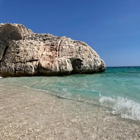
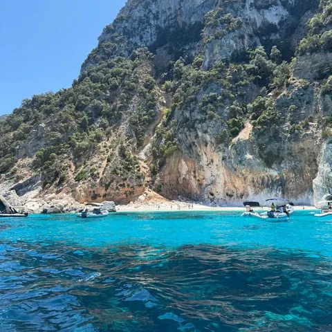
A breath taking view named after the extraordinary particularity of the porphyry cliffs that rise from the sea.
Arbatax is the doorway to the gulf
Before you set off
- Cala Goloritzé visits need a reservation from April to October.[5]
- Book the boat before you arrive in high summer
- Take a little cash for cave tickets and harbour cafes
- Sun cream, a hat and a light layer for the run home
On and around the water
- Days on the water run long, so keep the evening free
- Arbatax harbour sits on the coast road, a short hop from Tortolì
- Sea water in the gulf averages 26.5 °C in August.[3]
- Small group boats are available if you prefer a quieter deck
Porphyry, granite and iron: the red rocks
The rocks that give Red Rocks Bay its name are not painted or dyed. They are a natural outcrop of porphyry, a volcanic stone that cooled underground long before the sea began to work on it, and their rust red colour comes from iron minerals in the rock reacting with salt air and water. Up close the surface is rough, banded and warm to the touch on a summer afternoon. The Red Rocks Bay opens to the east of the Arbatax port, a tourist neighbourhood of Tortolì, and the cliffs rise straight out of the water.[1]
Around the red outcrop the shore turns pale, with white rocks and tall red granite boulders scattered along the bay.[1] The contrast is hard to miss on the drive in from Tortolì or on the walk down from the ferry: a pocket of rust coloured stone under grey green macchia, with the sea shifting from green to deep blue a few metres out. The rocks are a short walk from the harbour and the waterfront road, and the colour deepens in the low light of late afternoon.
Why a harbour took root on this coast
A harbour needs shelter more than it needs a handsome setting, and Arbatax offers both. The port sits where the coastline bends, which gives working boats and excursion vessels cover when the mistral blows down from the north west. The red rocks stand at the mouth of the bay like a marker at the door, and the lighthouse on the point keeps watch over the entrance.
The Gulf of Orosei stretches 30 kilometres along the eastern coast of Sardinia.[2] Arbatax sits on that coast and works as a departure point for boats heading north into the coves. The town itself is small: a harbour, a cluster of hotels and restaurants, a waterfront road and the longer beaches of Tortolì a short drive away. Food is straightforward and good, from seafood and pasta to ice cream on the promenade, and for a day on the water this is all you need.
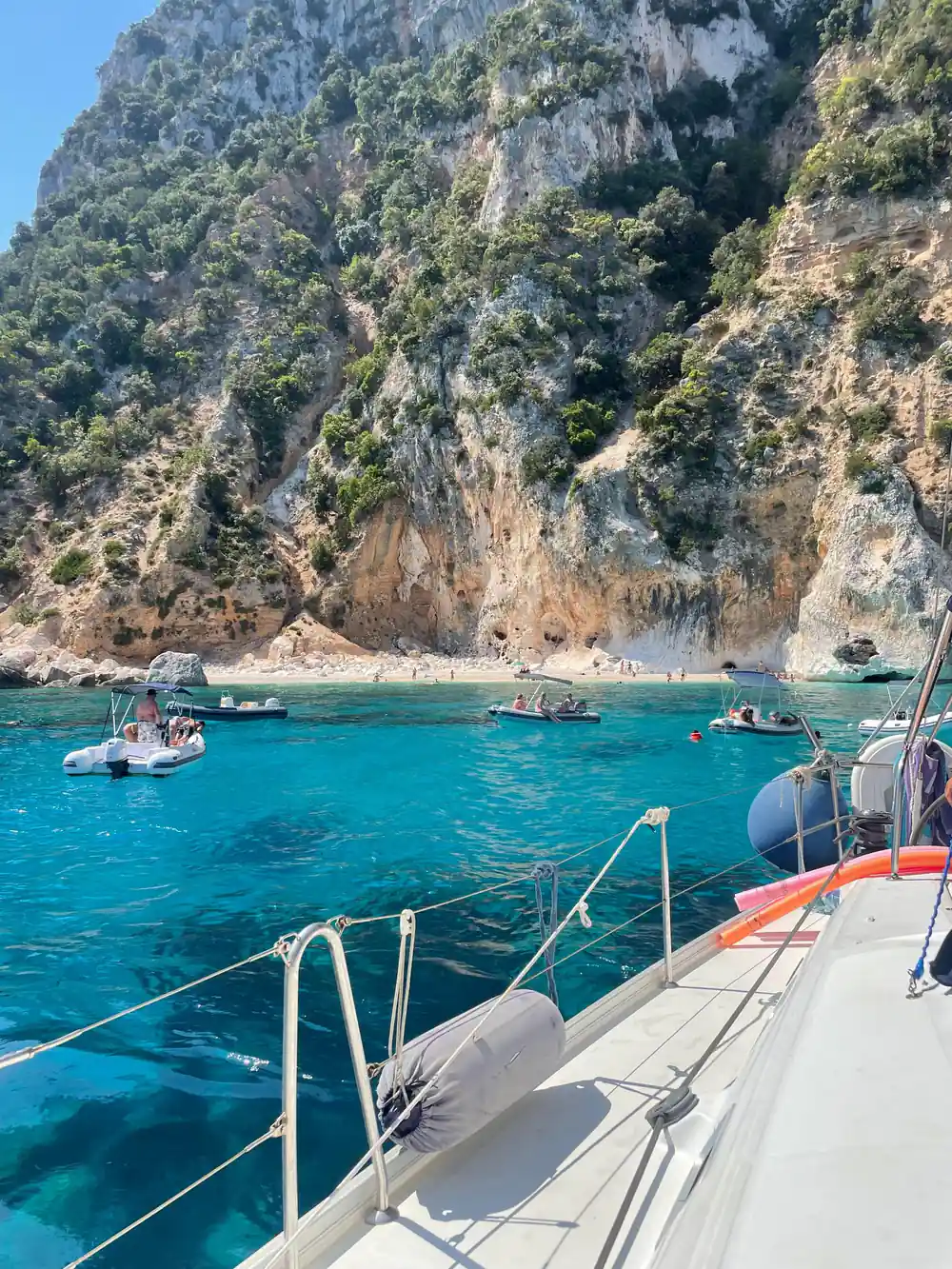
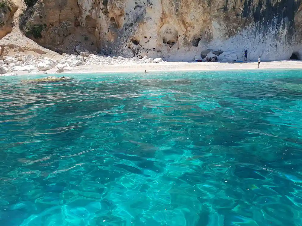
Clear water over white pebbles below the limestone cliffs
Ogliastra: the region behind the port
Ogliastra is the historic region that runs down the eastern side of Sardinia, from the high ground of the Supramonte towards the sea. It is a landscape of limestone ridges, cork oak woods, dry stone walls and shepherds' tracks, crossed by few main roads, and the villages sit up high, well away from the water. From the deck of a boat you see the shape of that country as a long wall of rock above the coastline.
The gulf and the mountains behind it share one protected name: the Parco Nazionale del Golfo di Orosei e del Gennargentu, also known as Gennargentu National Park, a protected area in Sardinia.[8] The coves along this shore have no coastal road and very few buildings, and reaching them takes a boat, a long walk or a steep path down from the high road. Seeing the gulf from the water is the simplest way in.
The Arbatax lighthouse and the headland
The lighthouse stands on the headland at the edge of the bay, a striped tower with a lantern room that is the last thing crews see on leaving and the first thing they look for on the way home. It is a working light rather than a monument, and it still marks the approach for ferries, fishing boats and the excursion boats that leave the harbour each morning.
The walk out to the point is short and mostly level, and it gives you a clear view back over the bay and the whole waterfront. Below the light the porphyry falls away into deep water, and on calm days you can watch small boats cross from one side to the other. Come back along the road for dinner: the restaurants look out over the harbour, and the smell of grilled fish follows you home.
from US$276
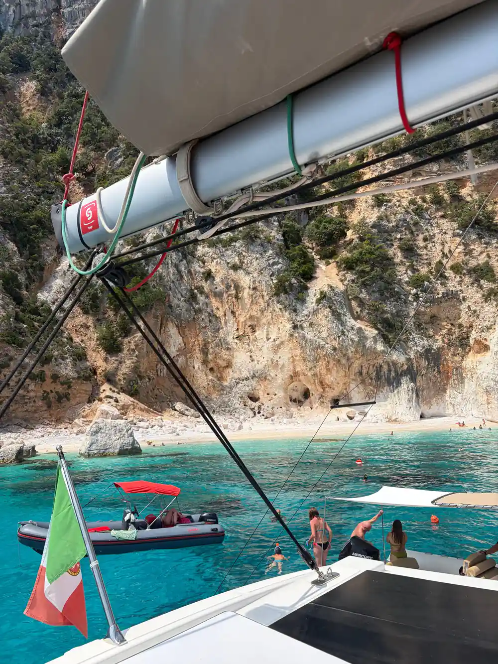
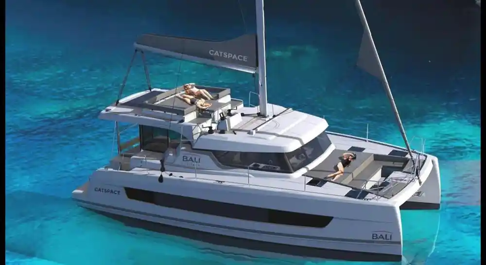
Catamaran trip from Arbatax: 8 hours on the water, guide in English, French, Italian and Spanish, rated 4.91 from 268 reviews.[4]
Leaving port: the first stretch of coast
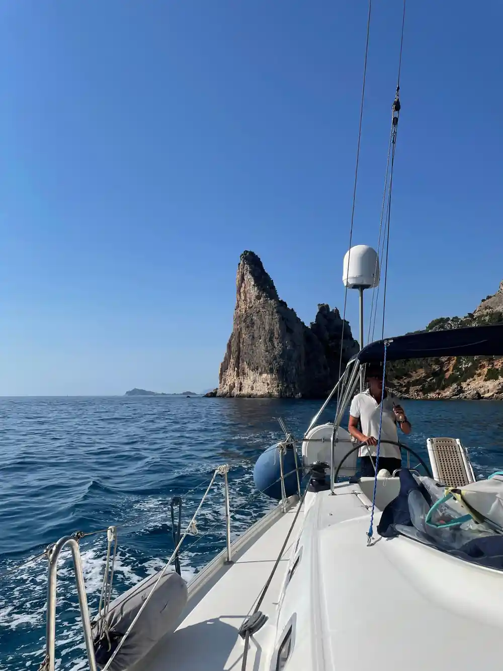
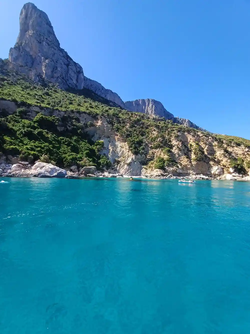
Boats leave the harbour and turn north east, and the coast soon brings Pedra Longa into view, a limestone spire rising straight from the water. It is the start of the Selvaggio Blu, the trekking route that ends in Cala Luna.[9] Seen from the sea the spire looks like a sail, and the cliffs behind it fold into one small bay after another.
The colour of the water changes as the boat moves: green over shallow shelves, dark blue where the rock drops away. On a calm morning the surface is close to glass and every cove is easy to pick out from the deck. This is the hour to stay outside with a camera, before the sun climbs and the day settles into swimming, lunch and the slow run back.
From red cliffs to limestone coves
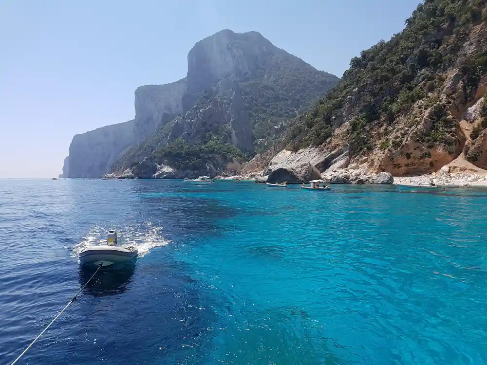
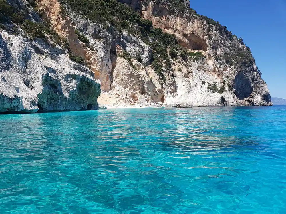
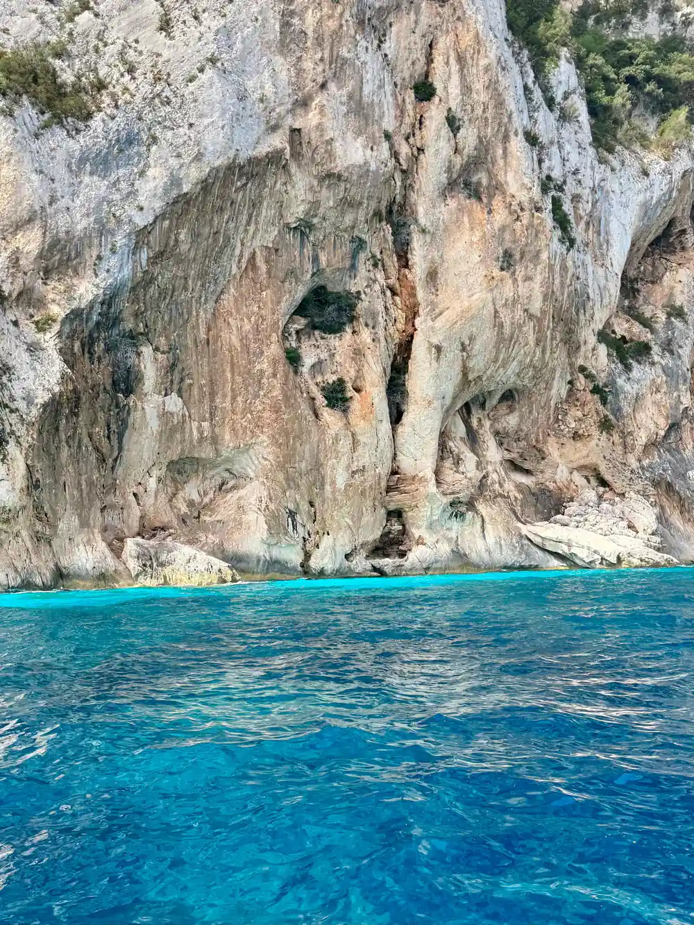
The Arbatax red rocks slip away behind the boat as you travel north. Around the port the stone is hard and red; further along it gives way to pale limestone, cut into vertical walls, arches and caves. Cala Mariolu is known for its crystal clear water, white pebbles and dramatic limestone cliffs that plunge into the sea.[10] The coves arrive one after another, each with its own fan of white stones under turquoise water.
Cala Luna is in Sardinia on the central eastern coast and is reachable from Cala Gonone, a hamlet in the township of Dorgali in the province of Nuoro.[11] Cala Goloritzé comes with a rule that shapes the day: access requires a mandatory reservation from April to October and is limited to a maximum of 250 people at the same time.[5] In August the sea in the Gulf of Orosei averages 26.5 °C, with a minimum of 24.4 °C and a maximum of 29 °C over the last decade.[3]
The Grotta del Bue Marino opens at the water's edge, and boats wait offshore while visitors walk in to see the chambers and the underground water. Adult tickets cost €10 in the ordinary season and €12 in June, July, August and September.[12] It is an easy stop to combine with a swim at one of the beaches nearby.
Arbatax vs Orosei: choosing a departure point
So what is Arbatax like as a base? It is small, quiet and right on the water, which means you can walk to your boat instead of driving round the gulf. The catamaran boat trip with lunch runs for 8 hours and starts from US$276, and it is rated 4.91 from 268 reviews.[4] Two other departures from the same harbour are a Baunei coast day tour by boat that takes 9 hours, from US$75,[6] and a RIB trip to Cala Mariolu and Cala Goloritzè that takes 3 hours, from US$69.[7]
From Cala Gonone, on the central stretch of the gulf, a cruise to Cala Goloritzè takes 7.5 hours and starts from US$79,[13] while another Cala Gonone cruise with Cala Goloritzè runs 8.5 hours from US$92.[14] Orosei itself sits a little inland, and some of its boat trips leave from La Caletta or the marina. The water at the end of the crossing is the same. What changes is the drive, the departure time and how much of the day you spend under way.
If you are staying in Arbatax or Tortolì, leaving from the local harbour is the simplest plan: no long transfer, no parking hunt, and you are back on shore in time for dinner. If you would rather explore under your own power, no licence is needed to hire a dinghy for exploring the Gulf of Orosei, though the driver must be at least 18 years old.[15] Otherwise, pick the trip that matches the day you want: a short fast run, a full day with lunch, or a slow cruise along the cliffs.
How long boat trips from Arbatax last
Durations of three boat trips that depart from Arbatax.[4][6][7]
Compare from-prices per person
US dollar from-prices per person for three trips leaving Arbatax, as listed by GetYourGuide:[4][6][7]
When to go and what to know
Your day from Arbatax
Book the boat
Choose the trip that matches your day and reserve now, with free cancellation up to 24 hours in advance.[4]
Reach the harbour
Arbatax harbour is easy to find from the coast road. Arrive with time to park, locate the quay and collect your ticket.
Settle on board
Stow your bag, find a seat in the shade and listen to the safety briefing before the lines are cast off.
Swim and explore
The boat stops in the coves. Sea shoes help on pebble beaches, and keep an eye on the time given for each stop.
Back in port
Trips return to Arbatax in the afternoon, and the waterfront is a short walk away for dinner by the red rocks.