In a nutshell
- A pebble beach with no road, a limestone spire and a rock arch, reached by boat or on foot in the Gulf of Orosei on Sardinia's central eastern coast.
- Access to Cala Goloritzé needs a mandatory reservation from April to October and is limited to a maximum of 250 people at the same time.[1]
- The catamaran trip from Arbatax runs 8 hours with lunch and a live guide in English, French, Italian and Spanish.[2]
- That catamaran day starts from US$276, and a shorter RIB trip from Arbatax to the same coves starts from US$69.[2][3]
- Average sea water temperature in the Gulf of Orosei in August is 26.5 °C, with a range of 24.4 °C to 29 °C over the last decade.[4]
- Top choice Catamaran with lunch from US$276 Duration8 hours[2]LanguagesEnglish, French, Italian, Spanish[2]Rating4.91 from 268 reviews[2]CancellationFree cancellation up to 24 hours[2] Check availability
- Baunei Coast day tour from US$75 Duration9 hours[5]LanguagesItalian, English[5]Rating4.42 from 549 reviews[5]CancellationFree cancellation up to 24 hours[5] See this tour
- RIB to Mariolu, Goloritzè from US$69 Duration3 hours[3]LanguagesEnglish, Italian[3]Rating4.84 from 705 reviews[3]CancellationFree cancellation up to 24 hours[3] See this tour
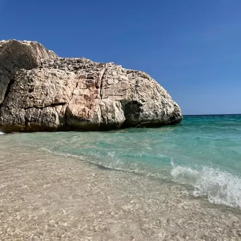
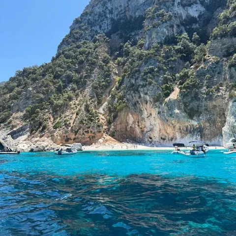
Reservations are mandatory from April to October and allow access for a maximum of 250 people at the same time.
Is a boat trip to Cala Goloritzé worth it?
Things to check
What Cala Goloritzé is
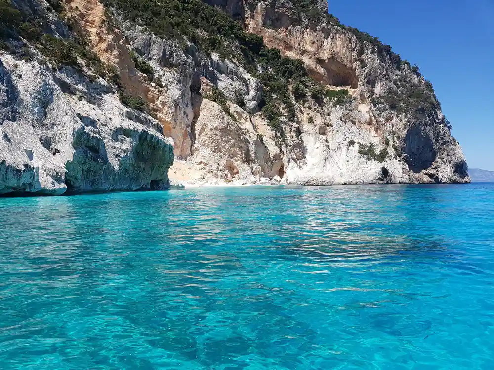
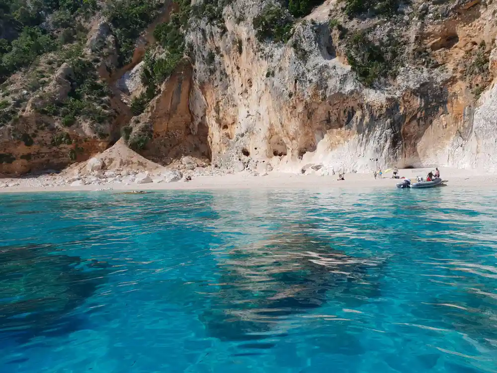
Cala Goloritzé is a small cove on the central eastern coast of Sardinia, tucked into the Gulf of Orosei where the limestone of the Supramonte falls into the sea. There is no road down to the beach. Boats come in from the harbours along the coast, hikers drop through the macchia from the plateau above Baunei, and everyone who lands steps onto white pebbles rather than sand. The bay is short, the walls behind it are high, and the colour of the water shifts through the day as the sun moves across the cliffs.
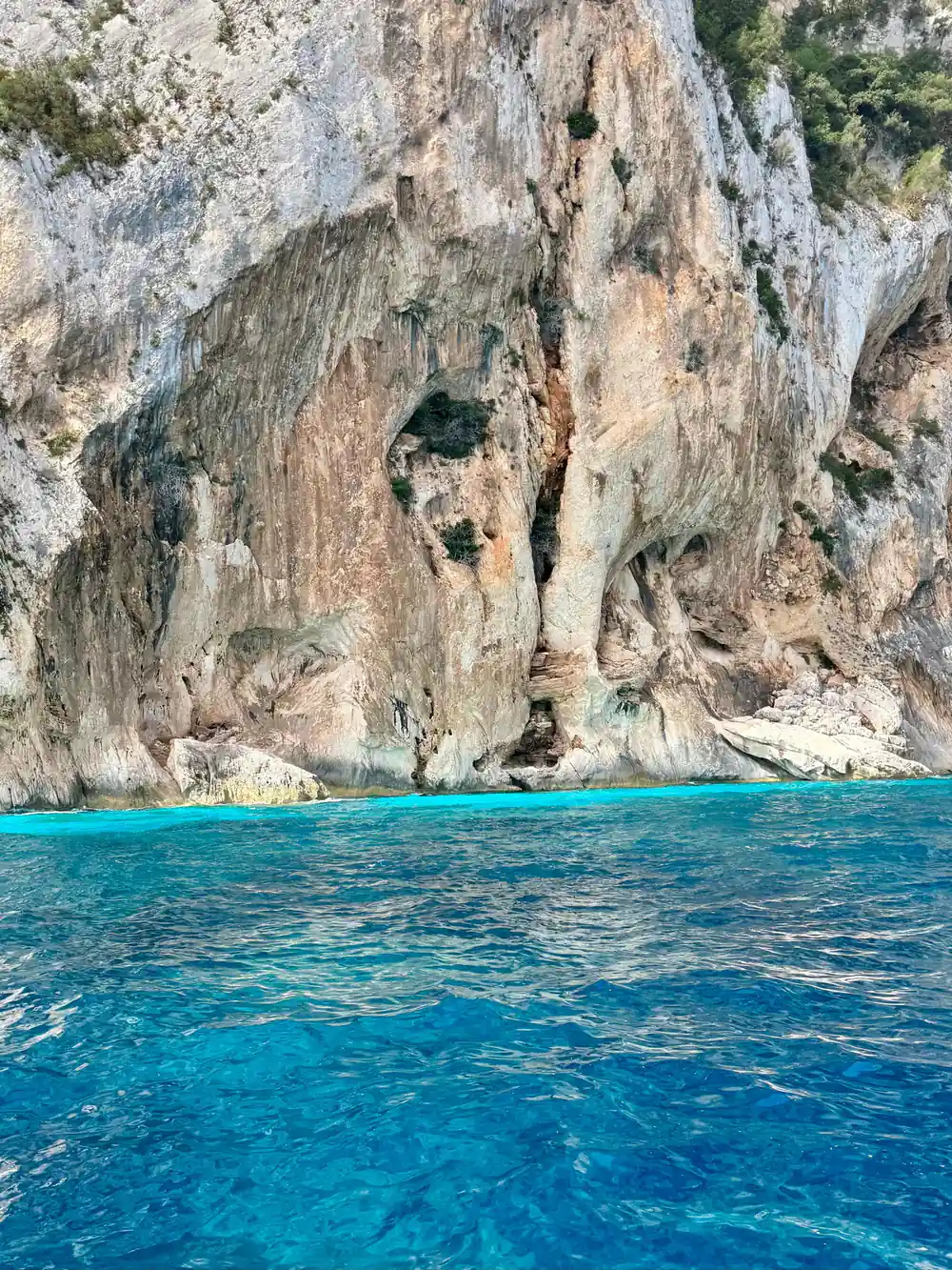
Two shapes define the place. One is the Aguglia, a pale limestone spire that stands clear of the water at the northern end of the bay. The other is a natural arch cut through the cliff face, a hole worn by sea and weather along a line of weakness in the rock. From a boat they look like sculpture. From the beach they are simply the reason this stretch of coast was never built on, and the reason the view from the water is worth the trip.
The gulf around it stretches 30 kilometres along the eastern coast of Sardinia.[6] Much of that length is cliff, with coves hidden at the mouth of steep valleys, so it makes sense to think of Goloritzé as one link in a chain rather than as a single destination. Boats often pair it with two or three neighbouring coves in a day, which is the easiest way to see how different each one is.
The Aguglia and the natural arch
The Aguglia is a needle of grey-white limestone rising straight out of the sea. It is the landmark you pick out first from the water, sharper and taller than anything around it, and it gives the cove its outline. Climbers know the Cala Goloritze climb on its seaward face; on a cool morning you may see ropes hanging down the wall while everyone else swims below.
The arch is the quieter monument. It opens in the cliff a short way along the coast, worn through where water has found a weakness in the limestone. Depending on the swell and the light you can see straight through it from the boat, and on calm mornings the water beneath glows pale green over the pebbles. Boat crews usually slow down here, and it is worth putting the camera away for a minute.
Small caves open at the foot of several cliffs along this stretch, some at water level and some left dry higher up by older sea levels. The shapes change with the angle of the sun, so the same wall looks different on the way out and on the way back, which is one reason a slow run along the coast is worth more than a fast one.
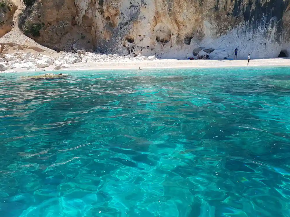
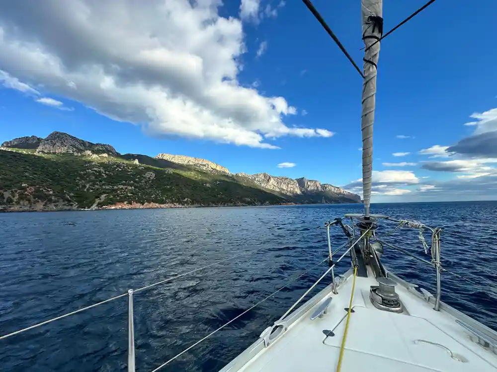
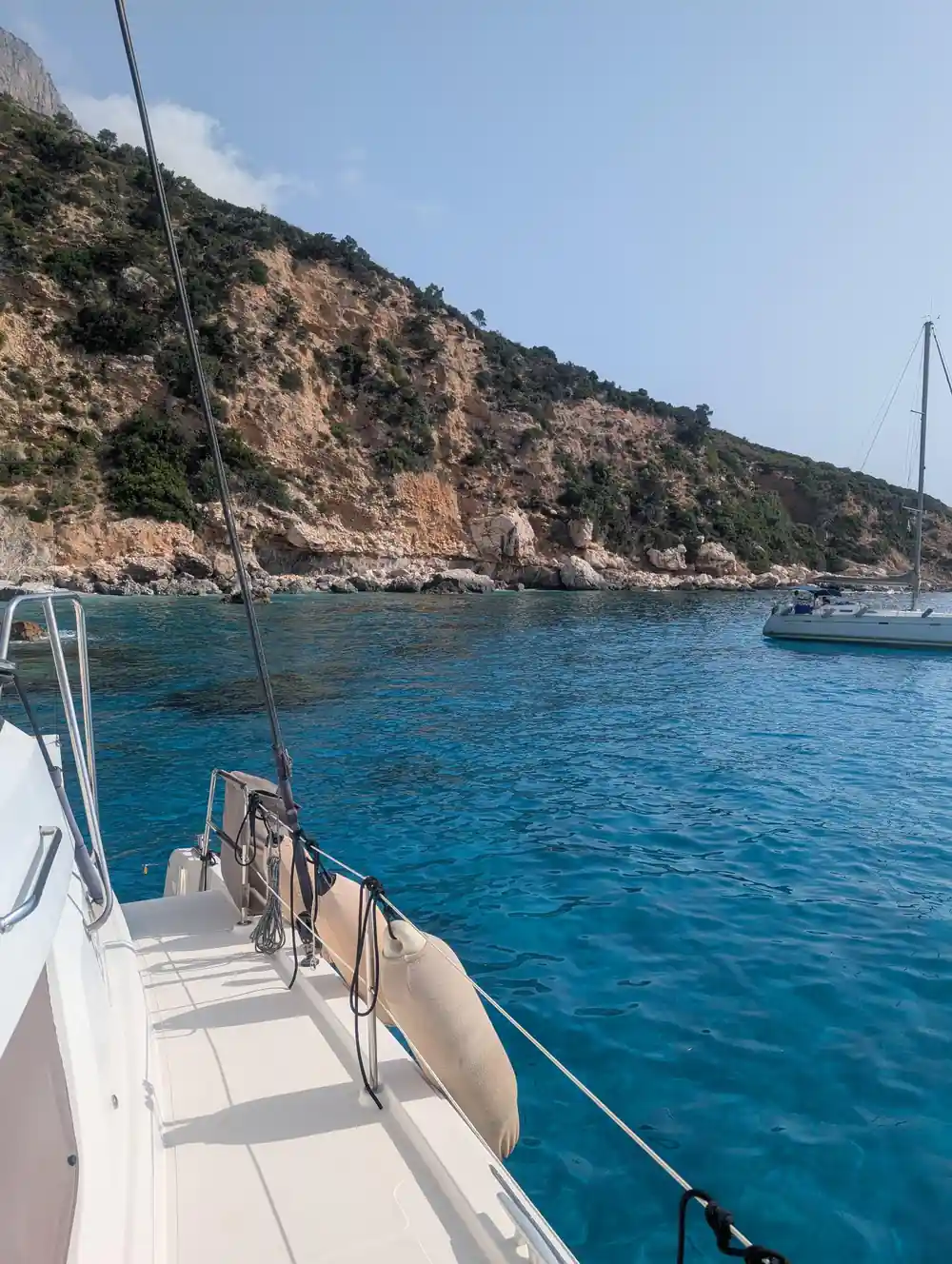
Limestone walls and turquoise water along the Gulf of Orosei
How the beach was made
Cala Goloritzé's beach is a rockfall beach. Blocks and pebbles came down from the cliffs above, broke up on the way, and settled where the valley meets the sea. That is why you walk on smooth white limestone pebbles instead of sand, and why the shape of the beach shifts after a hard winter. The cove is a gap in the wall, not a gentle bay.
The process has not finished. Loose rock still comes away from the walls above the cove, which is a good reason to sit away from the base of the cliff and to look up when you hear something move. The same hard rock and thin sediment keep the water so clear: there is little for the sea to stir up, so the colour stays even from the shore out to deeper water.
Protected status and visitor limits
The Gulf of Orosei is protected within the Parco Nazionale del Golfo di Orosei e del Gennargentu, also known as Gennargentu National Park, a protected area in Sardinia.[7] The protection covers more than the water. The cliffs, the macchia that covers the plateau above, and the birds that nest in the rock all sit inside the same boundary, and these coves are the part of it that most people see.
Cala Goloritzé is managed with a simple rule. Access requires a mandatory reservation from April to October and is limited to a maximum of 250 people at the same time.[1] In practice that means fixing the day you want well ahead in high summer, and treating the limit as part of the experience rather than an obstacle to it: a cove with a few dozen people in it feels very different from a beach at home.
Above the coves the park turns into mountains and macchia, grazed and walked for centuries. The coast is the showpiece, but the empty interior behind it is what keeps the place feeling remote, and it is worth a day of its own if you have time for both a boat and a walk.
from US$276
A catamaran day from Arbatax with lunch, a live guide and free cancellation up to 24 hours in advance.[2]
Getting there by boat or on foot
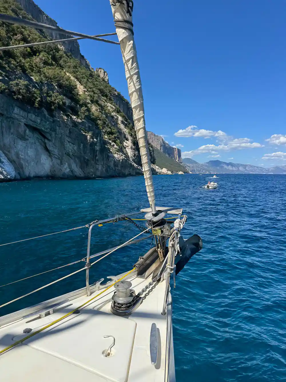
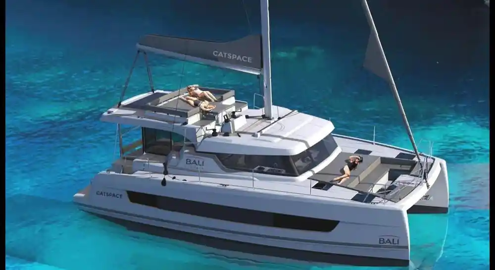
Boats are the usual way in. The Gulf Orosei catamaran trip from Arbatax takes 8 hours and includes lunch, with a live guide in English, French, Italian and Spanish, starting from US$276.[2] At the other end of the scale, a RIB trip from Arbatax to Cala Mariolu and Cala Goloritzè takes 3 hours, from US$69.[3] Between those two ends you will find dinghies, motor boats and sailing yachts, and the boat you choose decides how much time you actually spend in the water.
Land access is on foot. The Selvaggio Blu trekking route starts in Pedra Longa and ends in Cala Luna, winding through unspoiled paths hanging between sea and mountain.[8] Shorter paths drop from the plateau above Baunei down to Goloritzé, and they are steep, hot and loose underfoot, so boots and water matter far more than distance. The descent is the easy part; the climb back up in the afternoon heat is not.
From the north, Cala Luna is in Sardinia on the central eastern coast and is reachable from Cala Gonone, a hamlet in the township of Dorgali in the province of Nuoro.[9] From Arbatax in the south, the harbour sits below the Rocce Rosse, the porphyry cliffs that rise from the sea in the Red Rocks Bay east of the port.[10] Between the two, the whole coast is a few hours of boat ride in either direction.
Cala Mariolu vs Cala Goloritze
Cala Mariolu vs Cala Goloritze is a fair question when you are planning a day on this coast, and the answer depends on what you want from the water. Cala Mariolu is famous for its crystal-clear water, white pebbles and dramatic limestone cliffs that plunge into the sea.[11] Goloritzé adds the Aguglia, the arch and a cap on how many people can be there at once.
Both coves sit in the same stretch of water, and a catamaran day out of Arbatax can take in several of them in one run, which removes the need to choose in advance. On a smaller boat you can anchor and swim at each, watch the light change on the walls, and come back on deck for lunch before the afternoon wind gets up.
The rest of the chain, Cala Luna, Cala Sisine and Cala Biriala among them, each has its own character: sand in some places, pebbles in others, a cave at the back of a third. Seeing two or three in one day is normal on a boat trip, and it is the quickest way to work out which one you would come back to for a whole afternoon.
When to go and what to pack
August is the warmest month for swimming. Average sea water temperature in the Gulf of Orosei in August is 26.5 °C, with a minimum of 24.4 °C and a maximum of 29 °C over the last decade.[4] That is warm enough for long swims without a wetsuit. Shoulder months are cooler and quieter, and the light on the cliffs is at its best early and late in the day, when the rock turns gold and the water goes deep blue.
Take more water than you think you need, shoes you can walk on hot pebbles in, and a light layer for the ride home when the wind gets up. A snorkel is worth packing, because the clearest water lies right off the pebbles, and a dry bag for phones and cameras earns its space on any boat with a swim stop.
If you are adding a cave day, adult tickets for the Grotta del Bue Marino cost €10 in the ordinary season and €12 in June, July, August and September.[12] Around Arbatax, the Rocce Rosse, the porphyry cliffs that rise from the sea east of the port, are an easy stop before or after a trip.[10] The rest of the day is best left loose: these trips run on the weather, and a slow morning on the water beats a tight schedule every time.
Boat trips to the Gulf of Orosei by duration
Listed durations for four GetYourGuide boat trips:[2][3][5][13]
What a boat day in the Gulf of Orosei costs
From-prices as listed on GetYourGuide for these four trips:[2][3][5][13]
When to book and when to swim
Planning a day on the coast
Book your day
Decide whether you want a slow catamaran day or a fast RIB run, then fix the date. Peak summer dates fill first.
Sort the cove permit
Access to Cala Goloritzé is by mandatory reservation from April to October, with a maximum of 250 people at the same time.[1]
Check the wind
Boat trips run on calm days, and the crew will tell you if the swell is up. Morning departures usually get the flattest water.
Pack light and salty
Pack shoes for hot pebbles, plenty of water, a snorkel and a dry bag. Deck shade is limited when the boat is full.
Leave the afternoon free
A full day out from Arbatax runs 8 hours with lunch on board, so leave the evening free.[2]